Spring breakup expected to be below average across parts of Alaska
Lower snowpack which contributes to spring breakup is below average for the west coast and southern parts of Alaska
ANCHORAGE, Alaska (KTUU) - The risk for spring breakup across the state is largely dependent on location this year, due to variability in weather through the winter season.
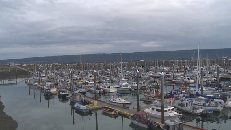
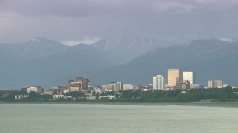
The Alaska-Pacific River Forecast Center detailed in its most recent outlook that spring breakup and flooding caused by snowmelt remains below average for portions of the Lower Yukon and Kuskokwim River basins, along with most of Southcentral Alaska. This comes on the heels of a winter that brought above-average warmth and little snowfall. While these areas can expect to see below-average potential, the threat for flooding and ice jams still exists.
It’s important to note that while the Kuskokwim River Basin is expected to remain below average, Quinhagak could see an higher threat of flooding. This comes following a mid-winter ice jam that flooded the road to the New Pump House, with reports that it also caused residential flooding. After this flooding, the Kanektok River refroze, with springtime temperatures expected to be the primary factor influencing the flood risk in Quinhagak.
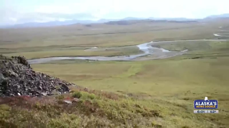
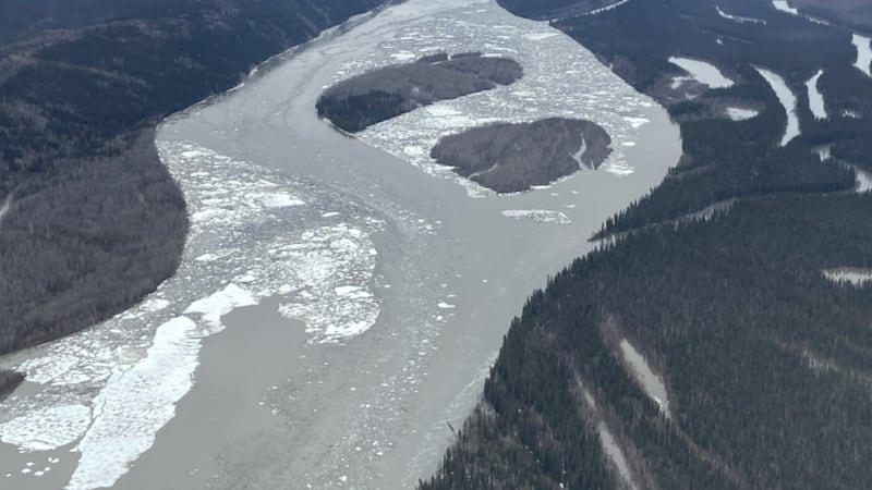
An above-average breakup potential is forecast for most of the Yukon, Tanana, and Koyukuk River basins, as well as along the North Slope. The Interior is one of the few locations across the state that have maintained a healthy snowpack throughout the winter season, with snow depth rapidly deteriorating as you head west. River ice thickness across the state also remains near to below normal, with most sits in the Interior ranging from 75% to 95% of normal. The outlook detailed that despite some subsequent refreezing of rivers following the warm spells we saw this winter, the integrity and strength of ice has rebounded, particularly for the Kuskokwim River ice road that has been re-established.
Snowpack across the state also remains highly variable, with the Interior, Brooks Range, Upper and Middle Yukon, Tanana and Koyukuk River basins seeing a deeper snowpack than normal. The highest snowpack across the state is found northeast of Fairbanks, where snow depth remains over 200% of normal in some spots. Meanwhile, areas along the West Coast, lower elevations of Southcentral (outside of the Copper River Basin) and Southeast Alaska have significantly below-average snowpack, which is leading to a lower threat for snowmelt-induced flooding.
Although springtime warmth is still building into the state, the outlook notes that the most important factor when looking at breakup is our spring temperatures in April and May. A cooler April, followed by a rapid warm-up into May, could lead to some dynamic breakups. It’s something to watch with the upcoming temperature pattern favoring cooler weather for parts of the state, as ice jam potentials could increase for the Upper and Middle Yukon Rivers, as well as the Tanana River.
The next outlook is expected Friday, March 28.
See a spelling or grammar error? Report it to web@ktuu.com
Copyright 2025 KTUU. All rights reserved.